
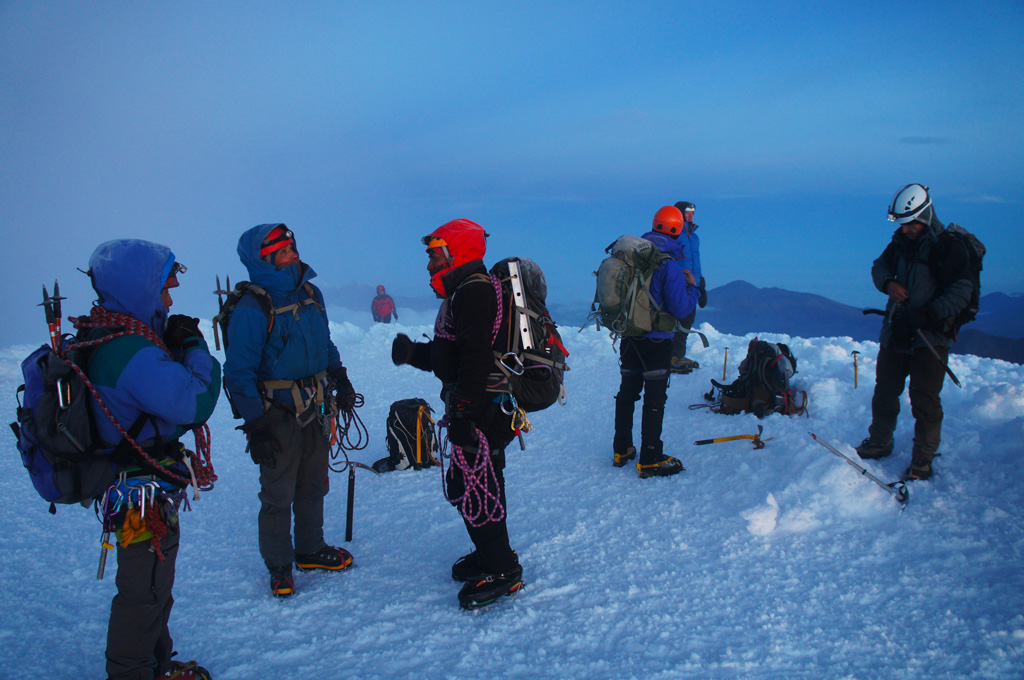
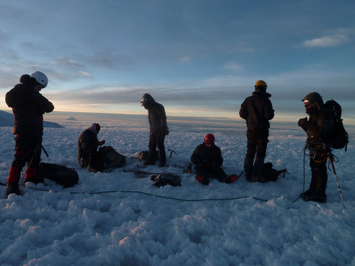
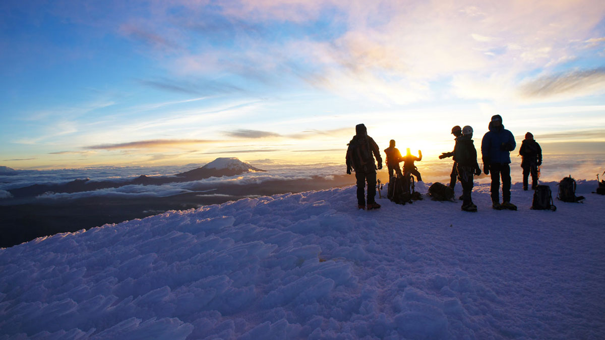
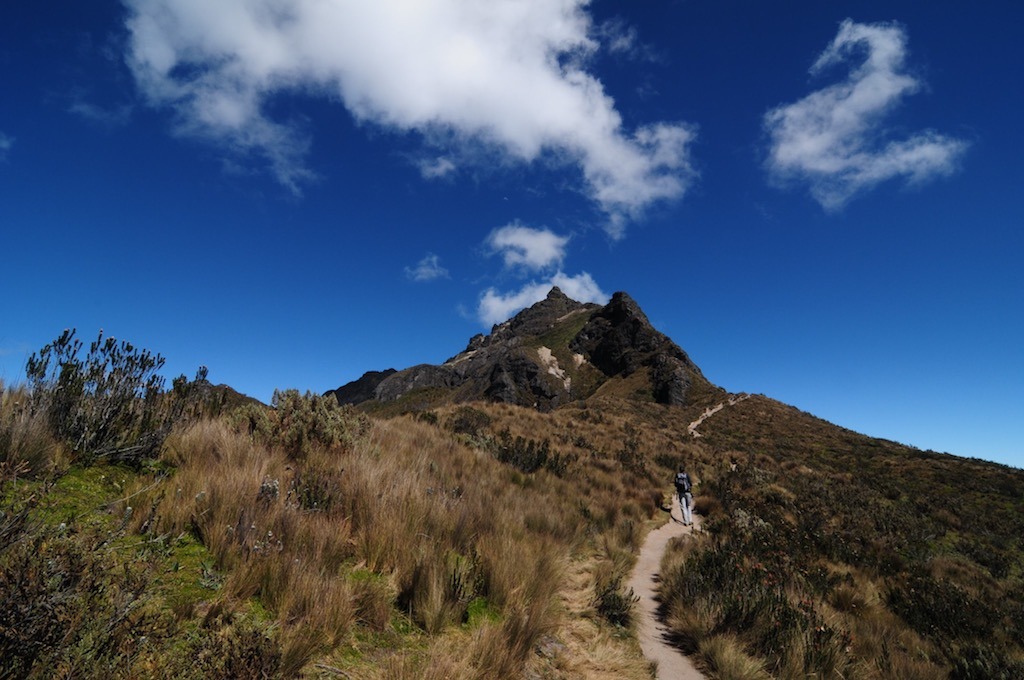
High-mountain adventures
Andinism in Ecuador
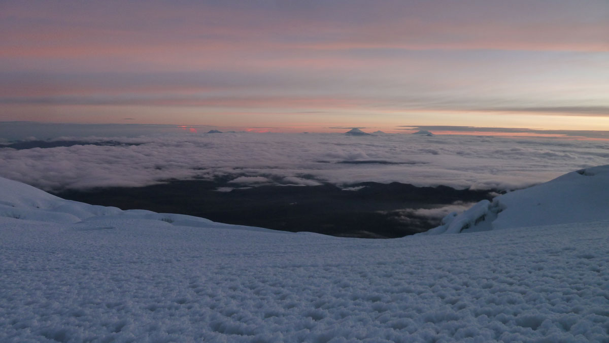
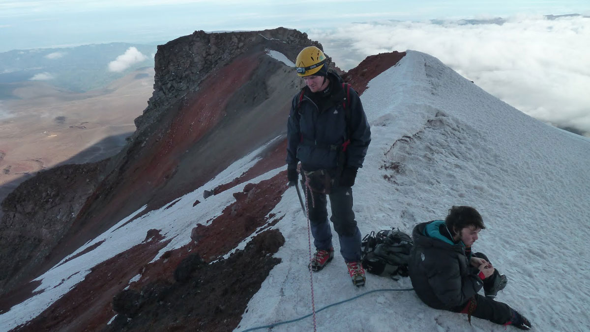
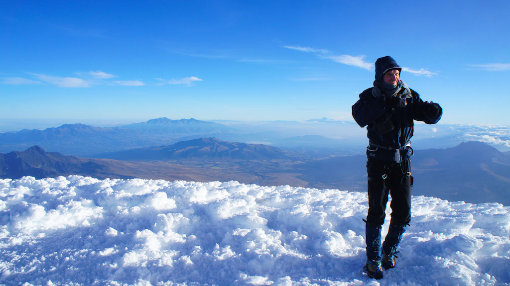
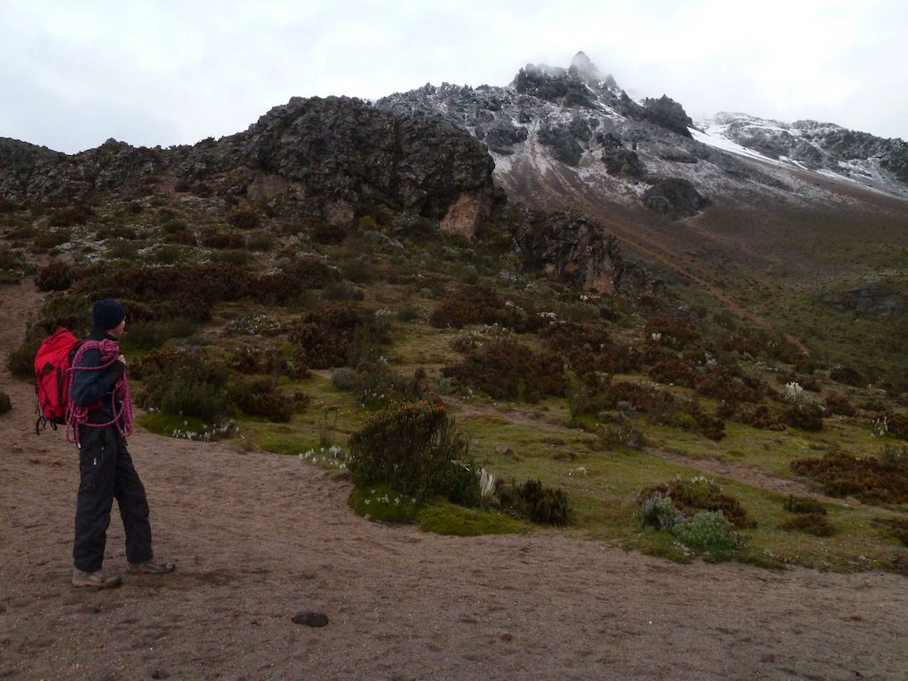
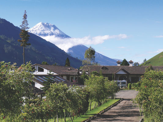
Ecuador is a country crossed by the longest mountain range of the world “The Andes mountain range”. This country is fortunate to have several peaks over 5.000m (16.400ft) above sea level, all of volcanic origin. Most of these volcanoes are extinct although some are still active. Indeed, Sangay, Tungurahua, Pichincha (Guagua) and even Cotopaxi are still active today and therefore observed very closely by vulcanologists.
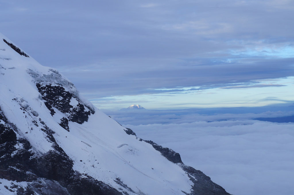
The Cotopaxi with its perfect cone is the highest active volcano in the world. It will offer you a unique spectacle in the heart of the most spectacular Ecuadorian Andes protected park, The Cotopaxi National Park. The Chimborazo 6.263 m (20.548 ft) highest summit of the world in relation to the earth’s center, the Cayambe 5.790m (18.991ft) located on the equatorial line or the Pichincha 4.800m (15.744ft) overhanging the capital, Quito, all these landscapes will make you dream. All these factors make Ecuador a major country in the Andinism world. ITK Voyage-Ecuador offers you sublime and unique climbs and ascents with a total immersion in the country’s National Parks & Protected Reserves.
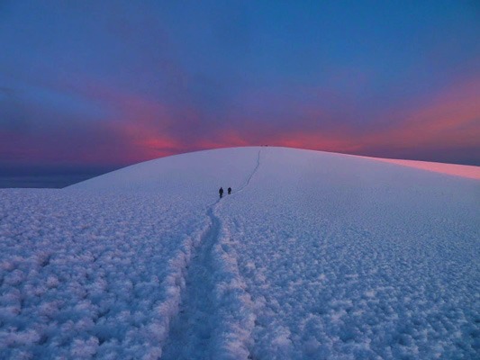
Glacier Climbs 
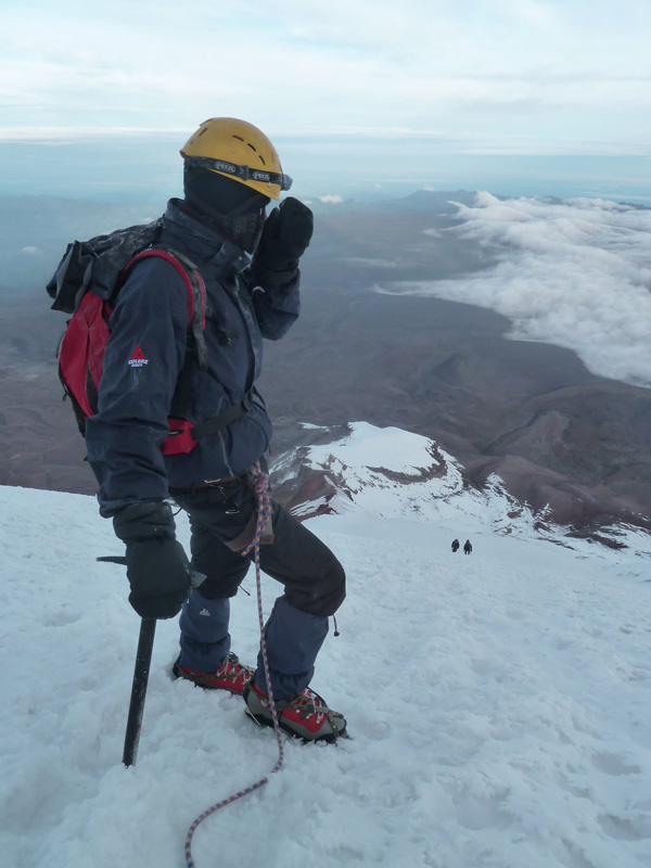
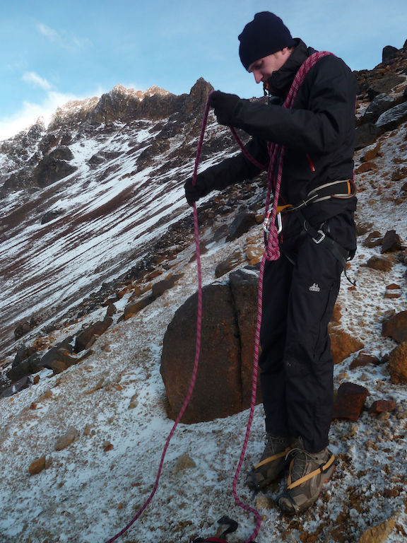
Difficulty has been ranked according to the “National Climbing Classification (USA)“. Elevation values correspond to the distance from climbing starting point (mostly refuges/base camp) to the summits.
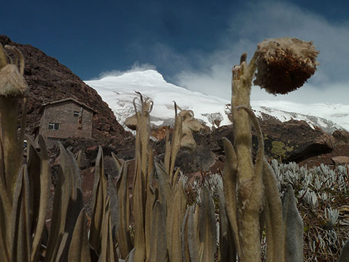
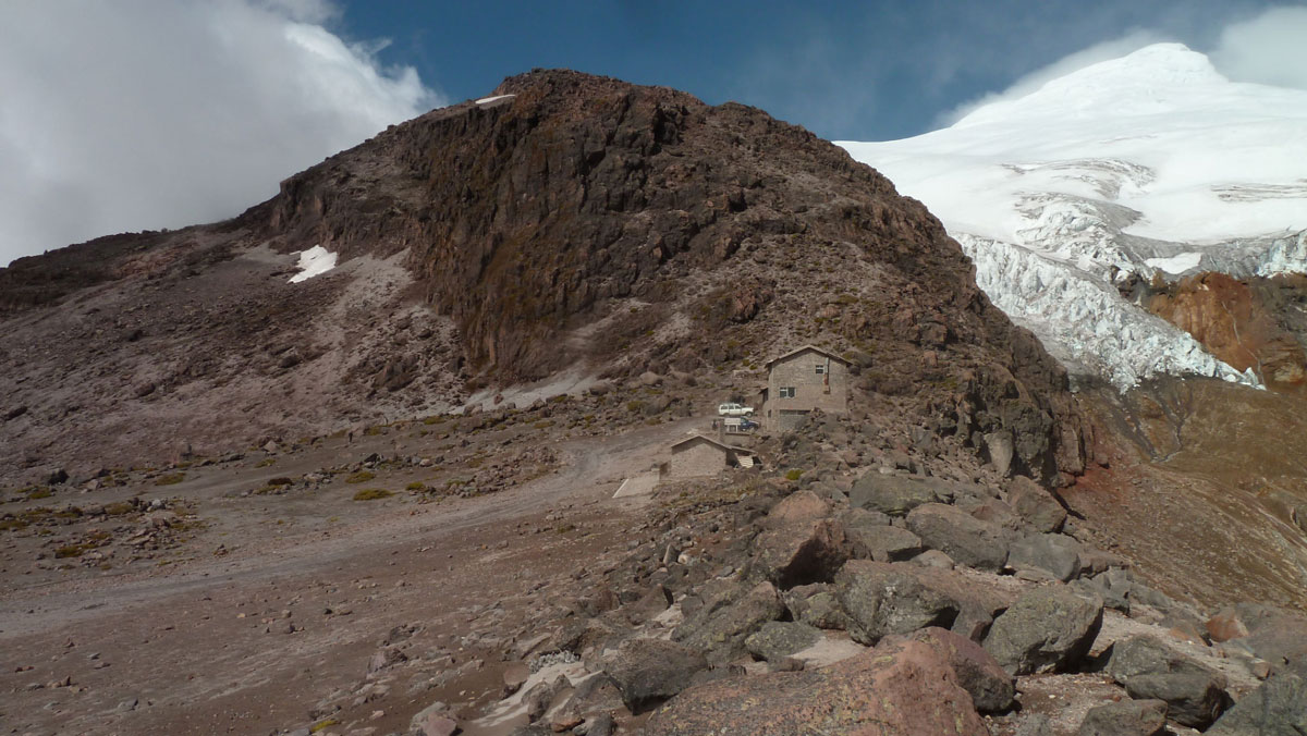
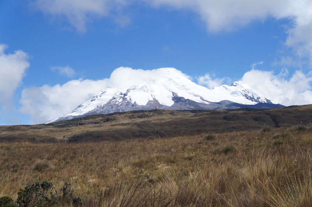
The Ecuador colossus, summit at 6.263m (20.548ft), surely represents an incredible challenge during your stay in our Andean country. Chimborazo is the furthest point from the earth’s center (as the earth is not perfectly round) and therefore the closest point to the sun.
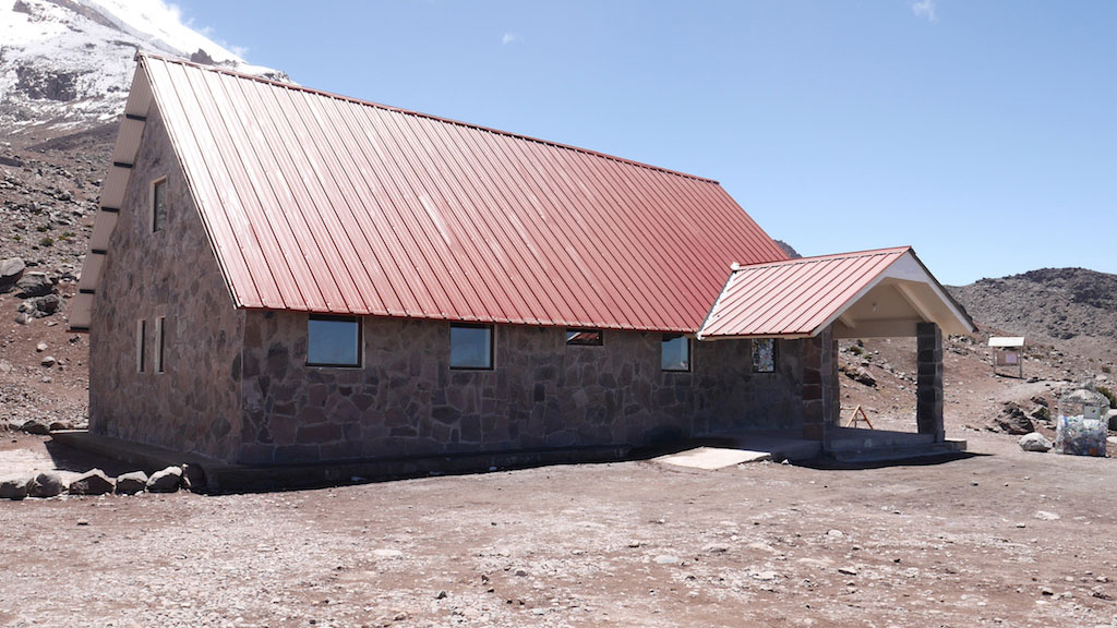
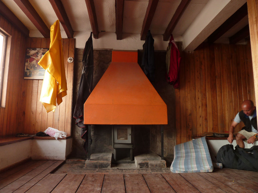
Location: West direction from the Panamericana, Between Ambato and Riobamba. It takes 5 hour-drive from Quito to reach the refuge. The Chimborazo reserve was named after the Chimborazo Volcano.
Altitude: 6.263m (20.548ft) ft for the summit & 4.800m (15.748ft) for the Carrel refuge.
Positive elevation: 1463m (4.800ft) /E+
Note: there is another option to reach the summit. By spending the night at “Campo Alto” located at 5400m (17717ft) you can save around 2,5 hours of walking.
Difficulty: Grade II/Half day => 7 to 11 hours ascent depending on the level. With slopes gradient of 40°-45°, the ascent is not technical yet physically difficult.
The Cayambe Volcano is located right on the equatorial line, making it the second closest summit to the sun after Chimborazo. Among all the Ecuador volcanoes that can be climbed, Cayambe is the easiest glacier climb.
Location: Located northeast of Quito, 3 hours’ drive, in the heart of the Cayambe-Coca National Park.
Altitude: 5.790m (18.996ft) for the summit & 4.600m (15.092ft) for the Ruales refuge.
Positive elevation: 1190m (3904ft)/E+
Difficulty: Grade II/Half day => 6-9 hours ascent depending on the level. With a slopes gradient of 30°to 35°, make the ascent accessible to many people in good physical condition.
A colossal monster, imposing like the Chimborazo but with a lower altitude 5.753m (18.875ft). It is located in the Antisana reserve’s heart, east of Quito and simply beautiful!
Location: Located to the south-east of Quito, approximately 1.5 hours’ drive. In the heart of the Antisana Ecological Reserve.
Altitude: 5.753m (18.875ft) for the summit. There is no refuge and the camp is at 4.740m (15.580ft).
Positive elevation: 1.013m (3.289ft) /E+
Difficulty: From grade II+/Half-day ascent – to IV+/Full-day With about 6 hours ascent depending on the level. With slopes gradient of 40°to 45°, the duration make the ascent difficult both physically and technically. The Antisana Volcano glaciers are regularly in motion, so there can not be a classic and traditional route. One of the most difficult climb in Ecuador.
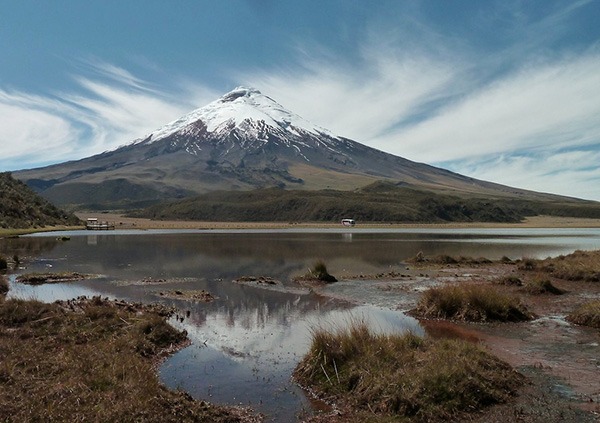
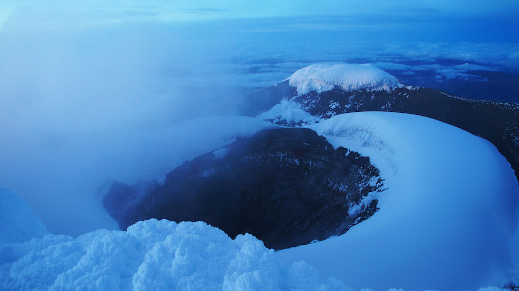
One of the most emblematic and popular ascents in Ecuador; Cotopaxi is the highest active volcano in the world. It erupted in 2015 and has been in activity during the 2023, now it seems to have calmed down.
Location: South of Quito, approximately 2.5 hours’ drive. The Cotopaxi National Park was named after this emblematic volcano.
Altitude: 5.897m (19.319,2ft) for the summit & 4.798 (15.744ft) for the Jose Rivas Refuge.
Positive elevation: 1099m (3.605ft) /E+
Difficulty: Grade II/Half-day With 5-8 hours ascent depending on the level. With slopes gradient around 50°, make the climb physically difficult but not very technical.
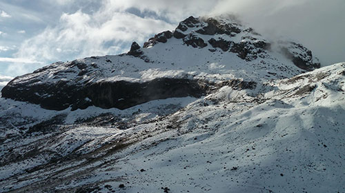
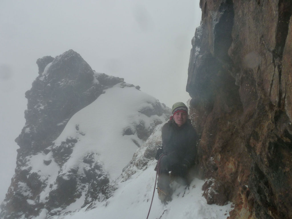
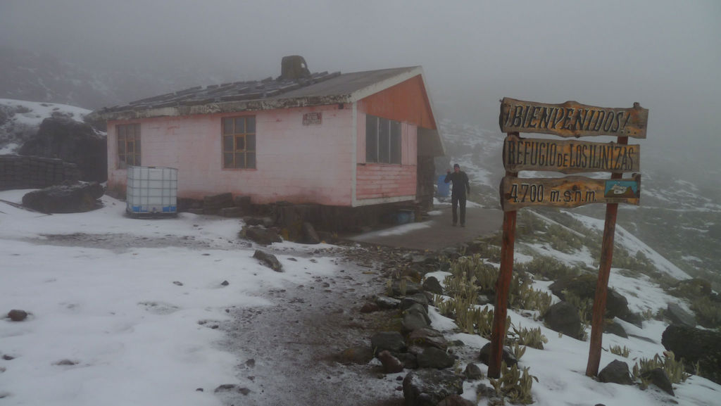
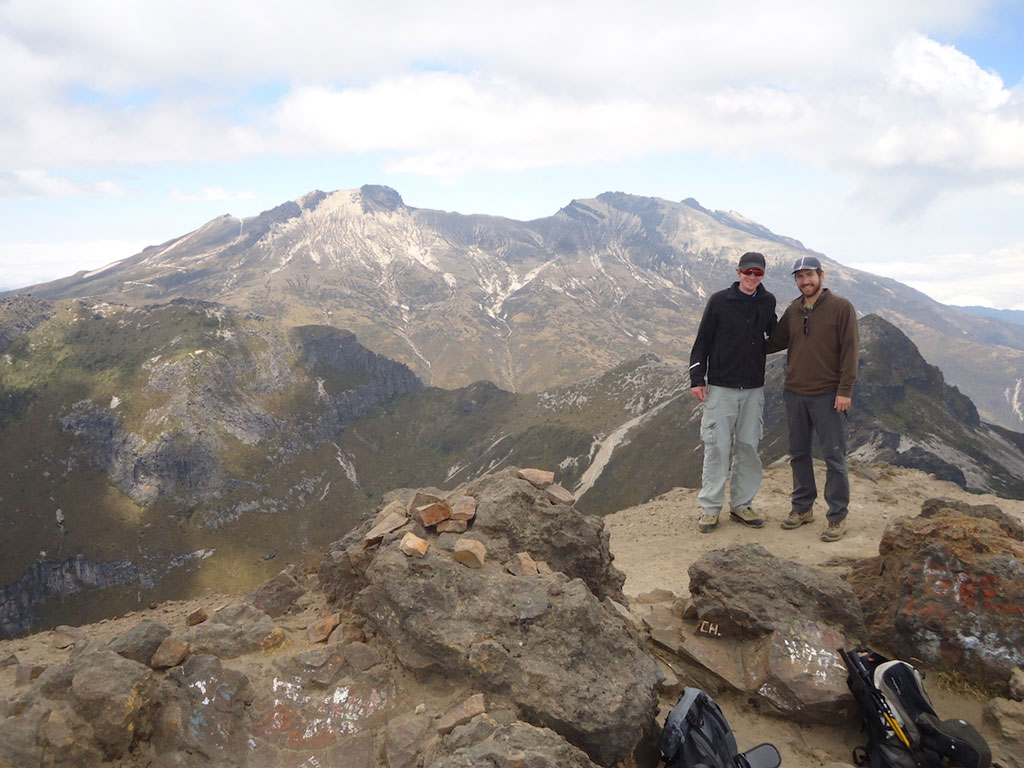
The twin Illinizas volcanoes, south of Quito, are two technical climbs. Iliniza Sur volcano is the higher of the two, therefore, technically more difficult.
Location: Located south of Quito, approximately 1,5 hour-drive. The Ilinizas volcanoes are opposite to the Cotopaxi Volcano, on the other side of the Panamericana highway and are part of the Illinizas Ecological Reserve.
Altitude: 5263m (17.267ft) for the summit & the refuge is located at 4.670m (15.322ft).
Positive elevation: 593m (1945ft) /E+
Difficulty: Grade IV+/Fairly-difficult With 4-6 hours ascent/climbing depending on the level. With slopes gradient around 70º make the ascent technically difficult and physically challenging.
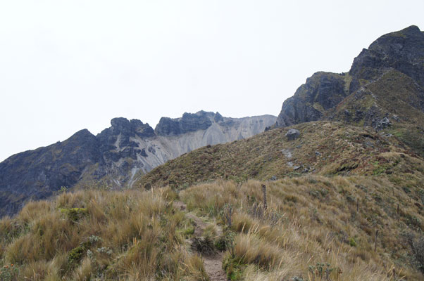
Altar is an extinct volcano made up of 9 peaks all of which appeared during the last big explosion in 1490.
Location: Located south of Quito, approximately 4 hours’ drive. In the western side of the Sangay National Park.
Altitude: 5319m (17.451ft) for the highest peak.
Positive elevation: 349m (1.148ft) /E+ to 799m (2.624ft) /E+
Difficulty: From IV+/A full day of technical climbing to VI+/Two or more days of hard technical climbing – Generally, mountaineers wishing to perform Altar, attempt to climb the 9 summits in 4-5 days. With slopes gradient around 90° degrees make Altar’s climbs among the most difficult in Ecuador.
Acclimatization Ascents & Treks.
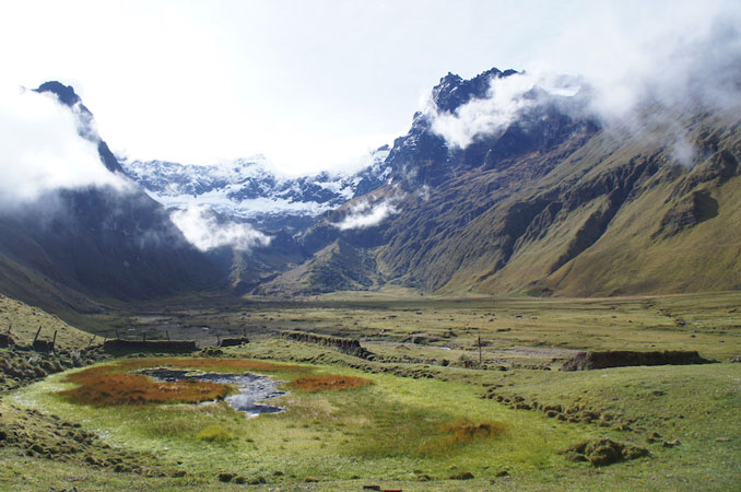
The acclimatization process consists on accomplishing a series of trekking and ascent activities in order to get your body used to the altitude, having in mind that Quito is already located at 2.850m (9.350ft). This gradual rise in elevation is a key stage in conquering the summits and can vary between 4-12 days. Difficulty levels might be influenced by different factors, and in Ecuador, altitude is a key and decisive factor to consider. The scenario, Ecuador’s most emblematic National Parks and Protected Reserves.
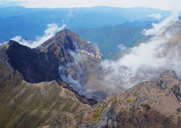
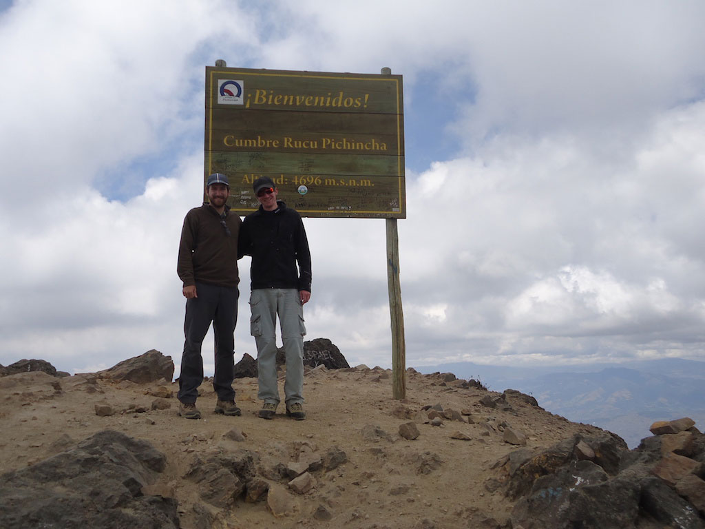
The Pichincha volcano breaks down into 2 distinct summits, the Guagua Pichincha (The Pichincha child-Active Volcano) and the Rucu Pichincha (The old Pichincha) both overlooking the capital city. Actually the Panecillo hill (located in the heart of the Historic Centre) is a volcanic tuff formed several hundred of years as result of the Pichinchas eruptions!
Location: These two peaks overlook Quito, the capital. For the Rucu Pichincha the cable car will take you up to beginning of the trail at 4.048m (13.284ft).
Altitude: Guagua Pichincha (The Pichincha child – Active Volcano) 4.784m (15.696ft) and the Rucu Pichincha (The old Pichincha) 4.698m (15.414ft).
Positive elevation: 650m (2.132ft) /E+ for the Rucu from the cable car.
Difficulty: “Moderately difficult”, with a technical part at the end of the Rucu Pichincha trail.
Called the “Pichincha Integral“, you can do “the whole thing” by making the Guagua Pichincha summit first, then crossing to Rucu Pichincha to finally finish at the cable car … a superb trek!
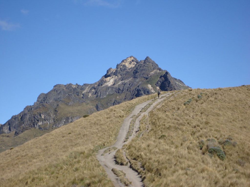


Illiniza North Volcano is the South Iliniza twin brother. The north summit is lower and less snowy therefore easier . Its summit will offer you a marvelous view of neighboring volcanoes such as Cotopaxi, Rumiñahui or even The Corazón volcano.
Location: South of Quito, 1h45 minutes’ drive. In the Illiniza Ecological Reserve.
Altitude: 5126m (16.818ft) for the summit & 4700m (15.420ft) for the refuge.
Positive elevation: 426m (1.397ft) /E+
Difficulty: It comes up to Grade II “Difficult” ascent due to its 70° slopes, but relatively quick in ascent. Indeed, about 3 hours will be needed to reach the top. This climb is therefore perfect on the last acclimatization climb, before tackling the “glacier monsters” of 5k+ (16k ft +).
Overlooking the San Pablo Lagoon -near Otavalo downtown- The Imbabura is an emblematic dormant volcano rising itself among the surrounding peaks.
Location: North of Quito, 2 hours’ drive. In the heart of only one UNESCO Global Geopark located in Ecuador.
Altitude: 4.609m (15.122ft) for the summit & there is no refuge.
Positive elevation: 1.349m (4.428ft) /E+ This trek might have several starting points, varying on length, distance, and elevation. However, we prefer to start from “La Esperanza” as it’s close to our favorite indigenous community in Ecuador!
Difficulty: “Moderately difficult” ascent with a technical part at the end. For this ascent, a good physical condition is necessary, because of the distance.
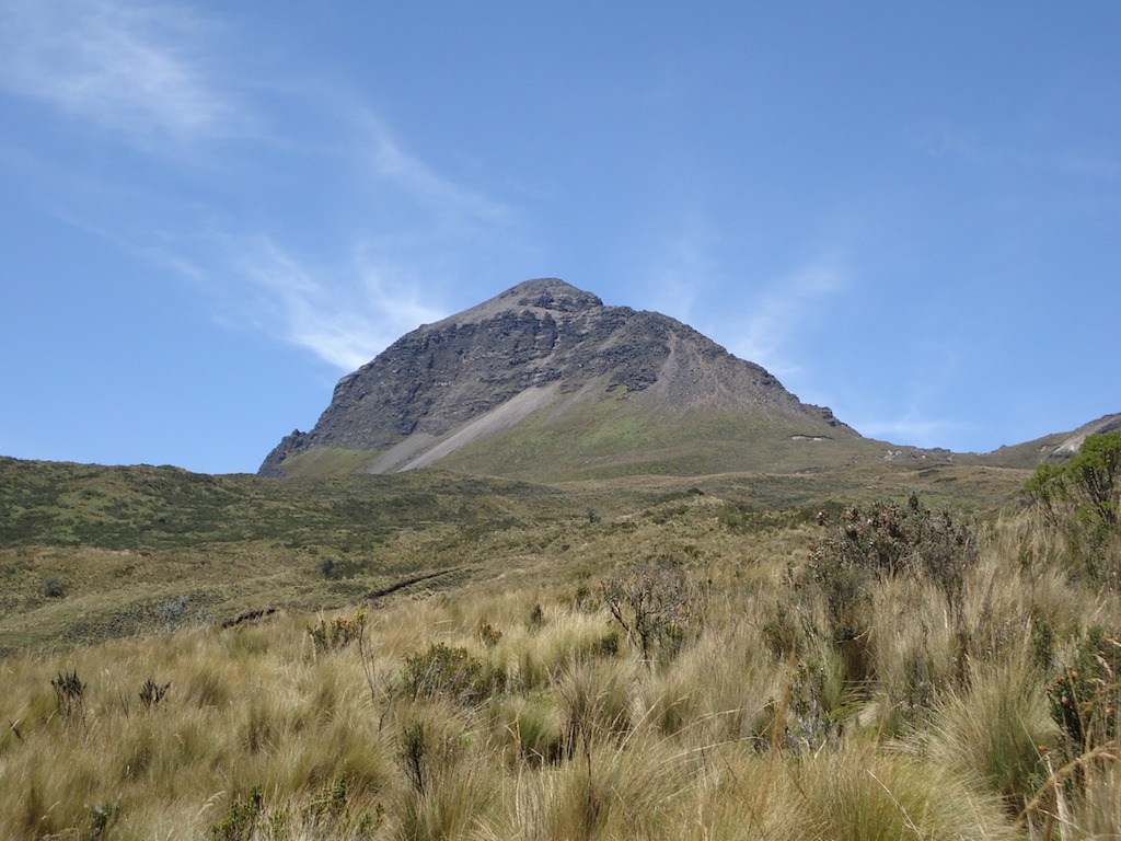
One of the best trails for a perfect acclimatization. The Corazón volcano is located near Quito, at the beginning of the Volcanoes Alley.
Location: South of Quito, 1h30′ drive.
Altitude: 4.790m (15.715ft) for the summit, and the starting ascent point at around 3.628m (11.906ft). You can drive up to this altitude.
Positive elevation: 1.162m (3.812ft) /E+
Difficulty: “Moderately difficult” ascent, despite a slightly dizzying end it is not required special equipment. The ascent can be long, you will need to be in good physical condition to reach the top without difficulty.
The latest eruptive episode at Tungurahua was from 26 February-16 March 2016. But it doesn’t show activity signs since that date. The ascent is therefore possible today and many athletes make this ascent.
Location: Close to Baños town, 3h30′ drive, south of Quito.
Altitude: 5.023m (16.480ft) for the summit & the ascent starting point, the refuge, is located at 3.798m (12.464ft).
Positive elevation: 1.225m (4,019ft) /E+
Difficulty: “Difficult” ascent with slopes of approximately 35°. The summit can be reached in about 4-6 hours depending on the level. An impressive crater and view will await you at the top.
The Sincholagua is an extinct volcano located at Quito southeast. The first to conquer the summit was Edward Whimper.
Location: Located to the south east of Quito, approximately 1.5 hours’ drive.
Altitude: 4.899m (16,073ft) – start ascent point is located at about 3.598m (11.808ft)
Positive elevation: 1.301m (4.268ft) /E+
Difficulty: “Difficult” ascent. The slopes of 70° require a final fairly difficult climbing. This ascent should be reserved for good-level mountaineers.
The Rumiñahui is located in the Cotopaxi National Park at the south of D.M. Quito. This volcano is made up of 3 different summits, the south, north and the central one which is the easiest of the three and which requires the least material. North and south require ropes and helmets to reach the top.
Location: Located south of Quito, approximately 2 hours’ drive. The Rumiñahui is located in the Cotopaxi National Park.
Altitude: Northern summit 4.712m (15.460ft) / central 4.631ft (15.194ft) / & southern summit 4.696m (15.407ft)
Positive elevation: 750m (2.460ft) /E+ for the central summit, 900m (2.952ft) /E+ for the southern and northern summits. The starting point for the climbs is the lagoon located at 3.828m (12.559ft).
Difficulty: “Moderately difficult” ascent for the central. The north and south summits will be more technically difficult. Ideal at the start of your stay to calmly acclimatize during a high mountain program.
The Fuya Fuya is one of the easiest peaks to reach in Ecuador. It will be a perfect acclimatization walk to start your stay.
Location: Located north of Quito, approximately 2 hours’ drive. The Fuya Fuya is close to Otavalo..
Altitude: 4260m (13.977ft) for the highest peak.
Positive elevation: 561m (1.840ft) /E+ from the Mojanda lake. The starting point is located at 3.699m (12.136ft)
Difficulty: Moderately difficult ascent. Ideal at the start of your stay to calmly acclimatize.
The dormant Pasochoa volcano lies between Rumiñahui and Ilalo volcanoes. this volcano is quickly accessible from Quito (1h drive).
Location: Located to the south-east of Quito.
Altitude: 4200m (13.780ft). The starting point is located at 3400m (11.155ft).
Positive elevation: 1043m (3.422ft) /E+
Difficulty: “Moderately difficult” ascent. It will take 5 to 7 hours to reach the top. There is no technical difficulty.